
Welcome Visitor. First time here? Like what you see? Bookmark us for when you are bored, and check out 'top shots' and 'fantastic (editors choice)' in the menu above, you won't be dissapointed. Join our community!
click here to sign up for an account today. Sick of this message? Get rid of it by
logging-in here.
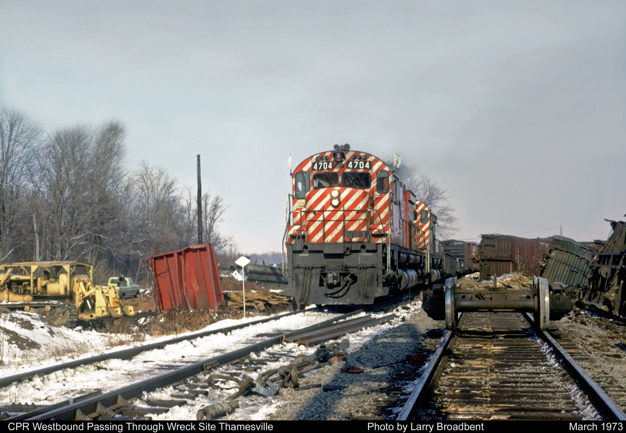

Ouch……
Noticed the map…this was of course the CP line. Not to avoid confusion when both the CP and CN had stations for Thamesville, and the fact that the CP line was constructed north of the town, it was called / labelled ‘Thamesville North’(similar to “North Glencoe” or “Glencoe North” etc.)
The coordinates Larry provided show the GPS location on the current VIA (CN) line, when in fact the indicator should be straight north. I believe that the power lines behind the wreck scene are those which cross the track at the Highway 21 crossing, with current London Ag Commodities silos out of sight.