Welcome Visitor. First time here? Like what you see? Bookmark us for when you are bored, and check out 'top shots' and 'fantastic (editors choice)' in the menu above, you won't be dissapointed. Join our community!
click here to sign up for an account today. Sick of this message? Get rid of it by
logging-in here.
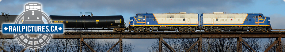
 A determined railfan who tried to emulate this shot can get there from Lancaster Road or even Nichols Road then across country. The foliage has grown up, but last time I was there in 2008 there was still an angle that was unobscured.")

That’s one for the history books John. It’s amazing how much the foliage has grown over the years… And that’s not a good thing!
See http://www.railpictures.ca/?attachment_id=710 to get an idea of what can still be done at that location.